The view you can't get from the ground. Licensed drone work, coastlines, properties, events, landscapes, shot with the same eye for light and composition as everything else, just from a few hundred feet up. Aerial that's actually composed, not just high.
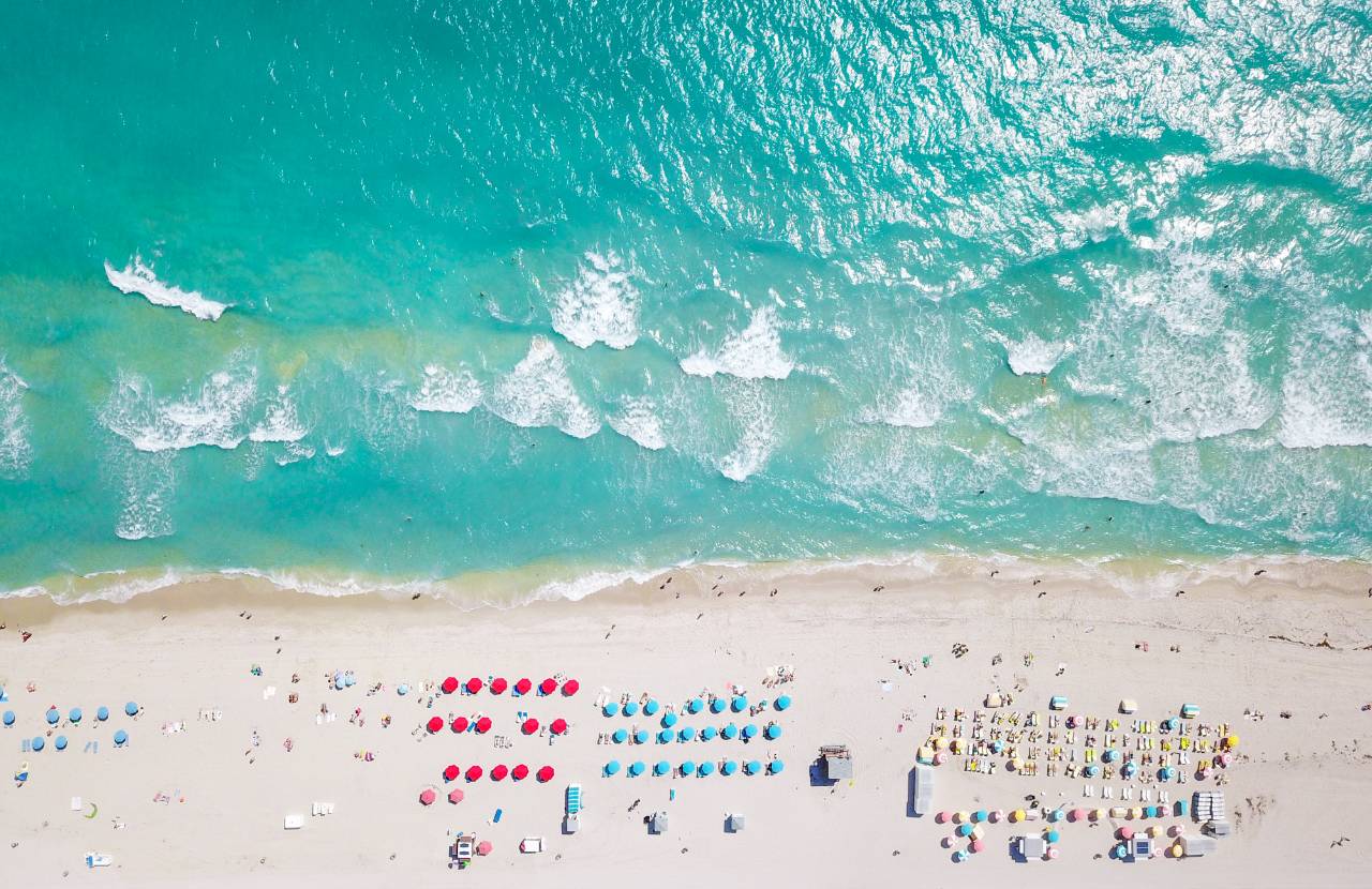
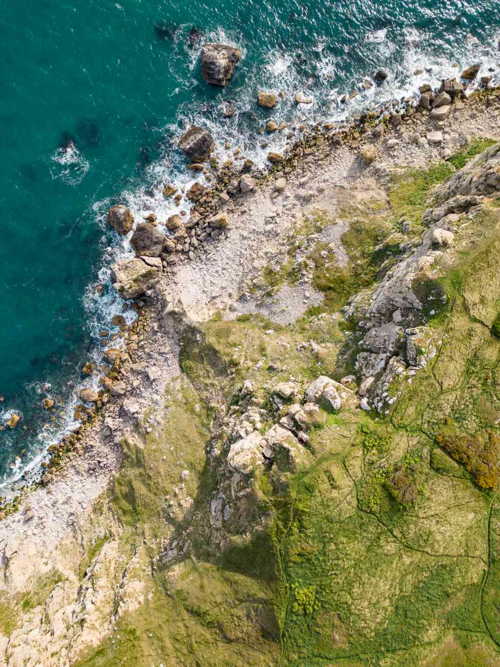
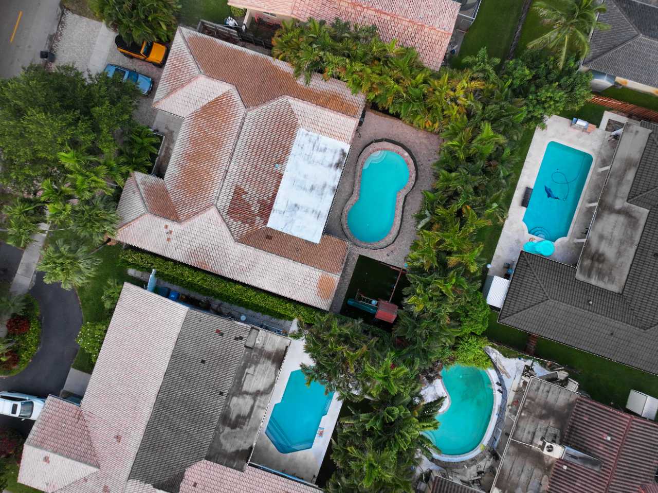
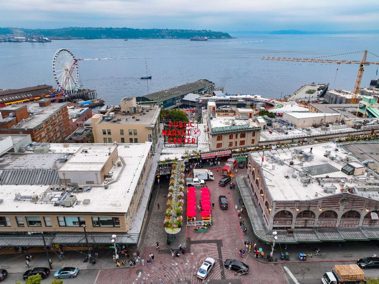
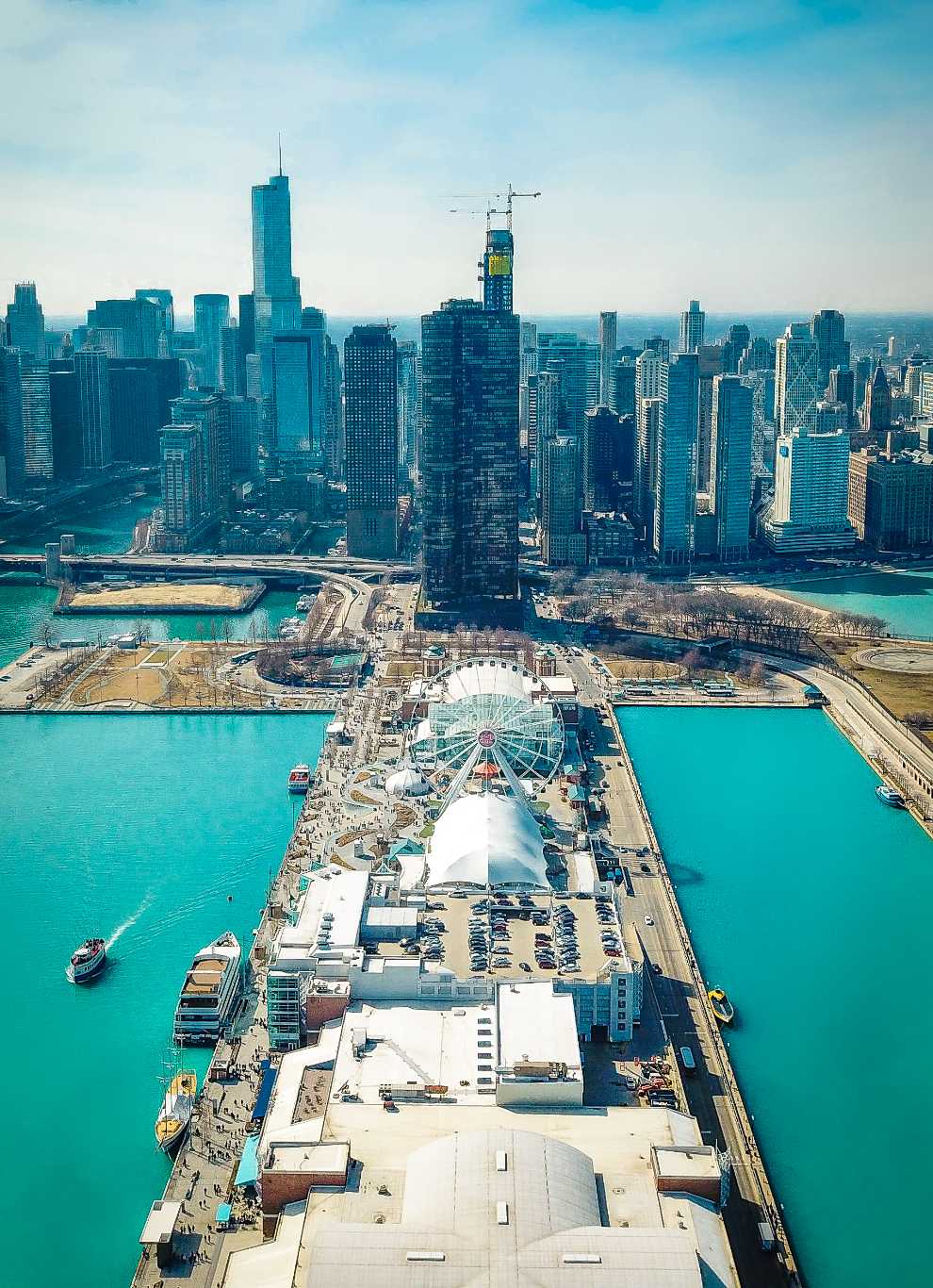
Usually the better frame is fifteen metres up: high enough to reveal a shape you could not see standing, low enough that people and cars still read as people and cars. What I am looking for from up there is geometry.
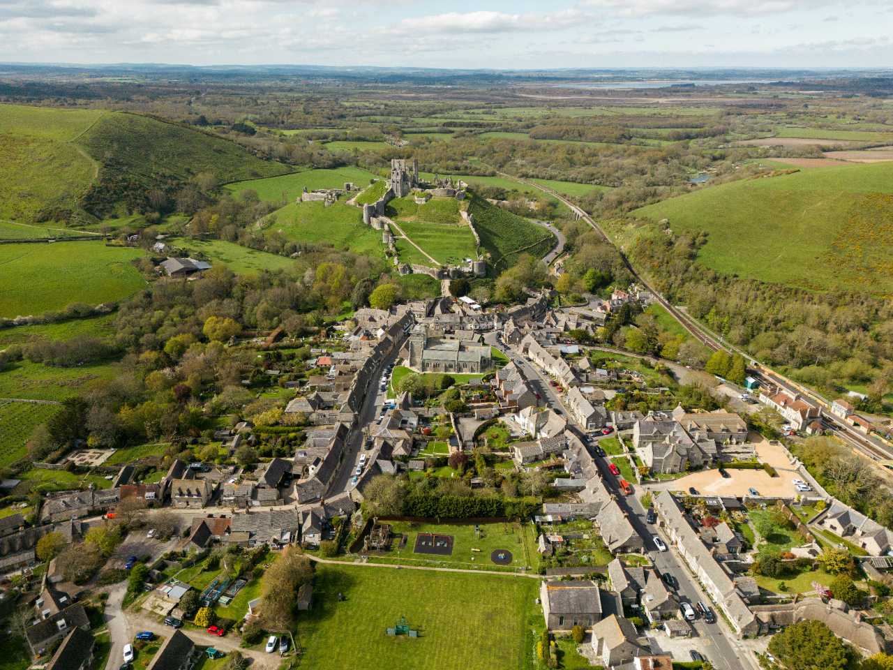
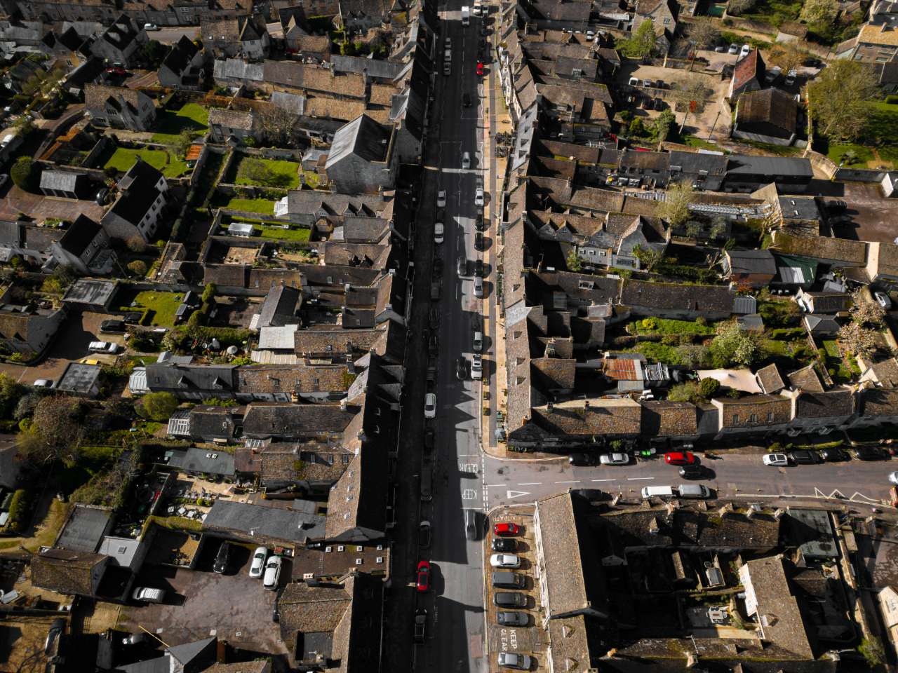
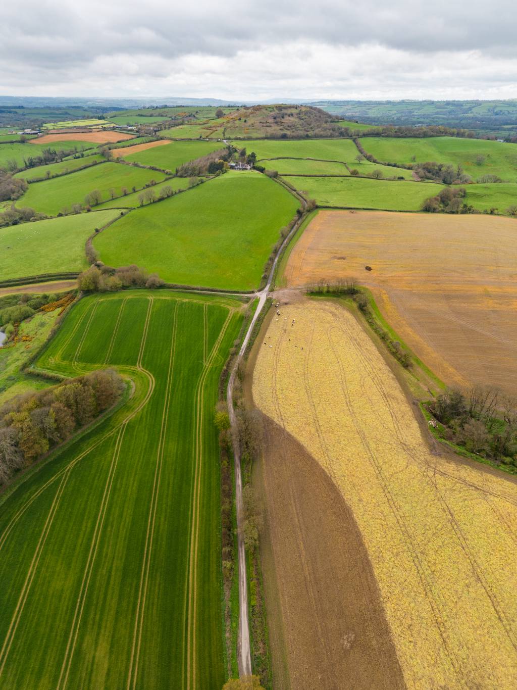
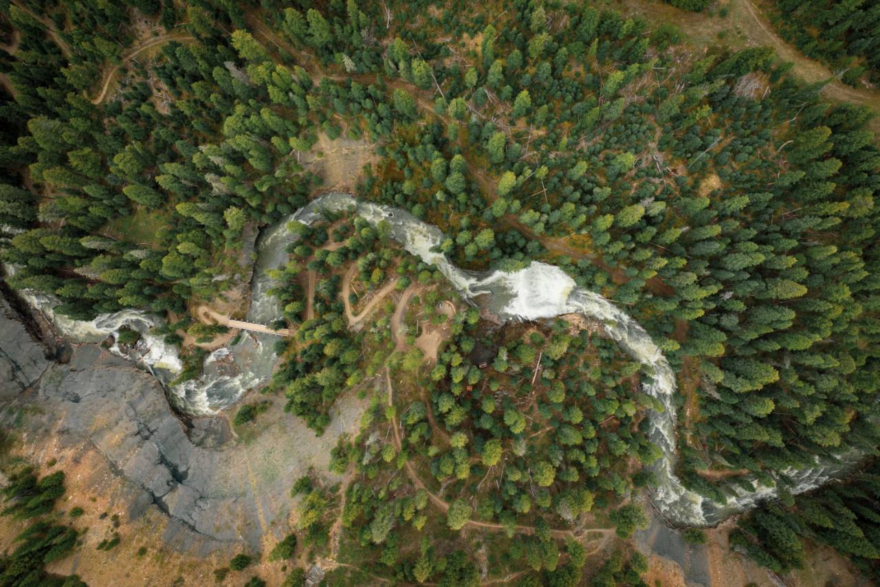
From above it becomes a graphic, and that is worth flying for. I fly licensed and I turn around when the wind or the airspace says so.
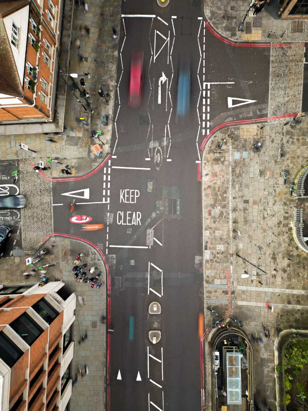
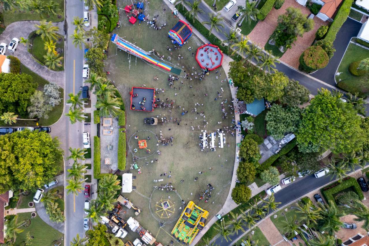
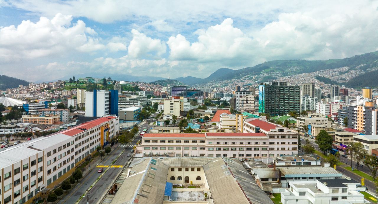
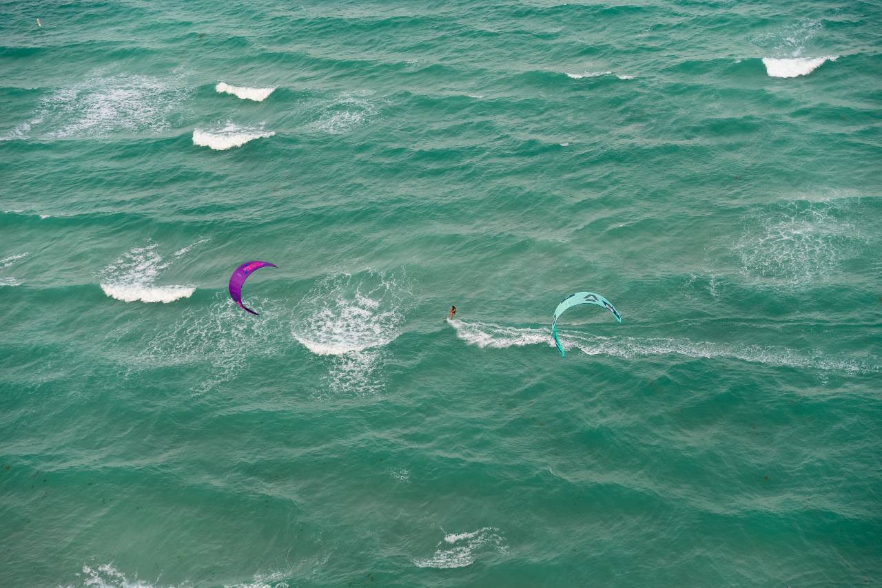
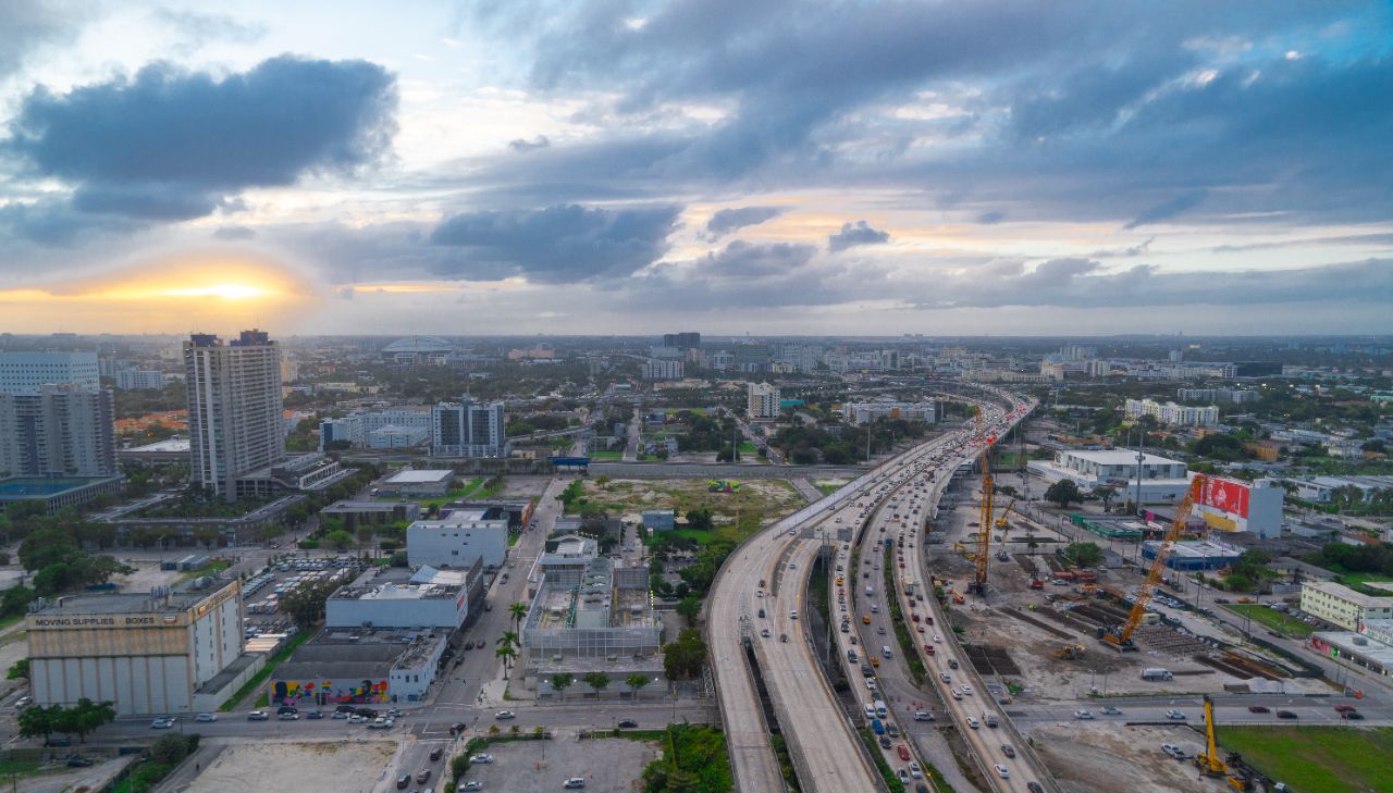
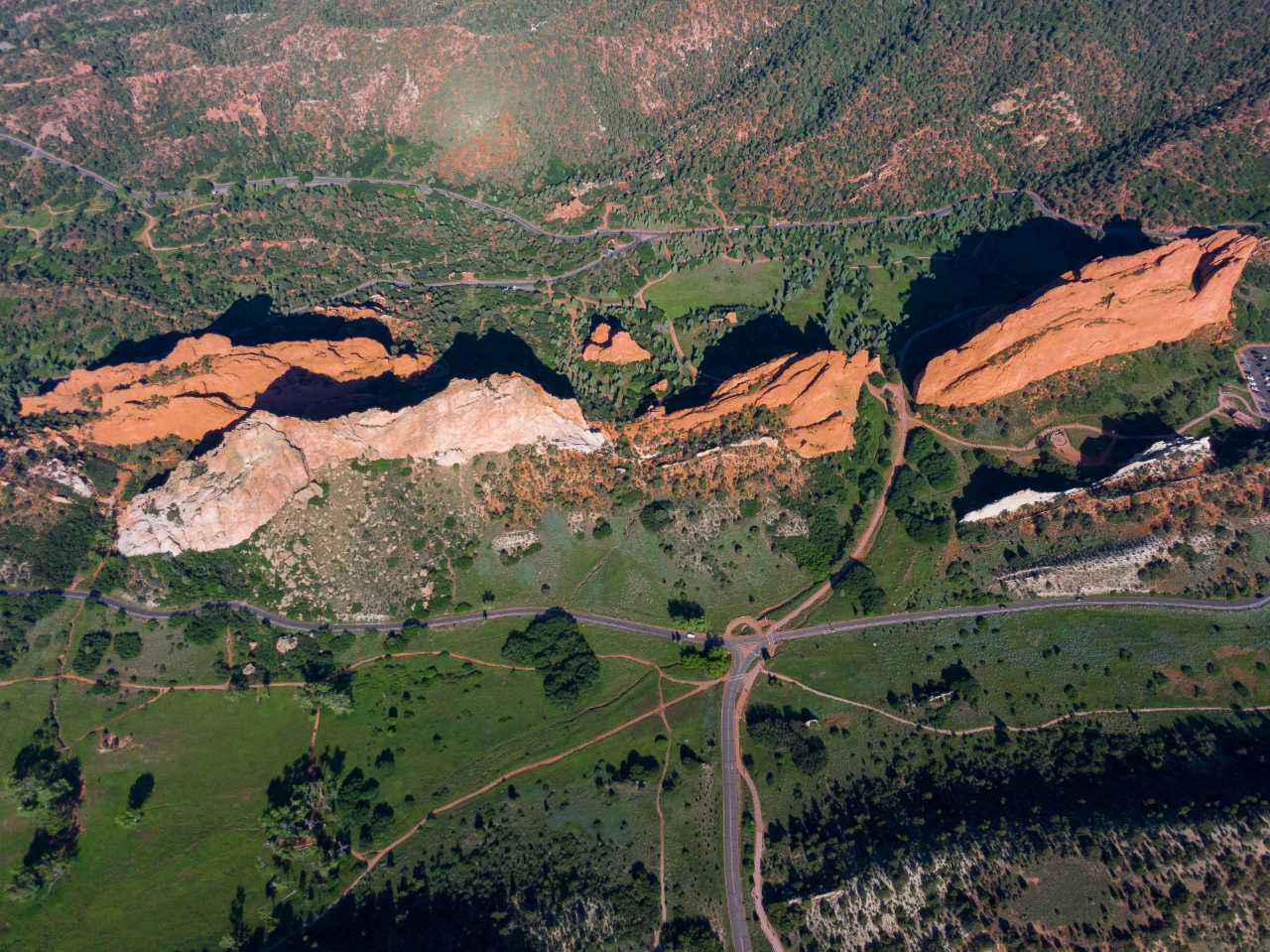
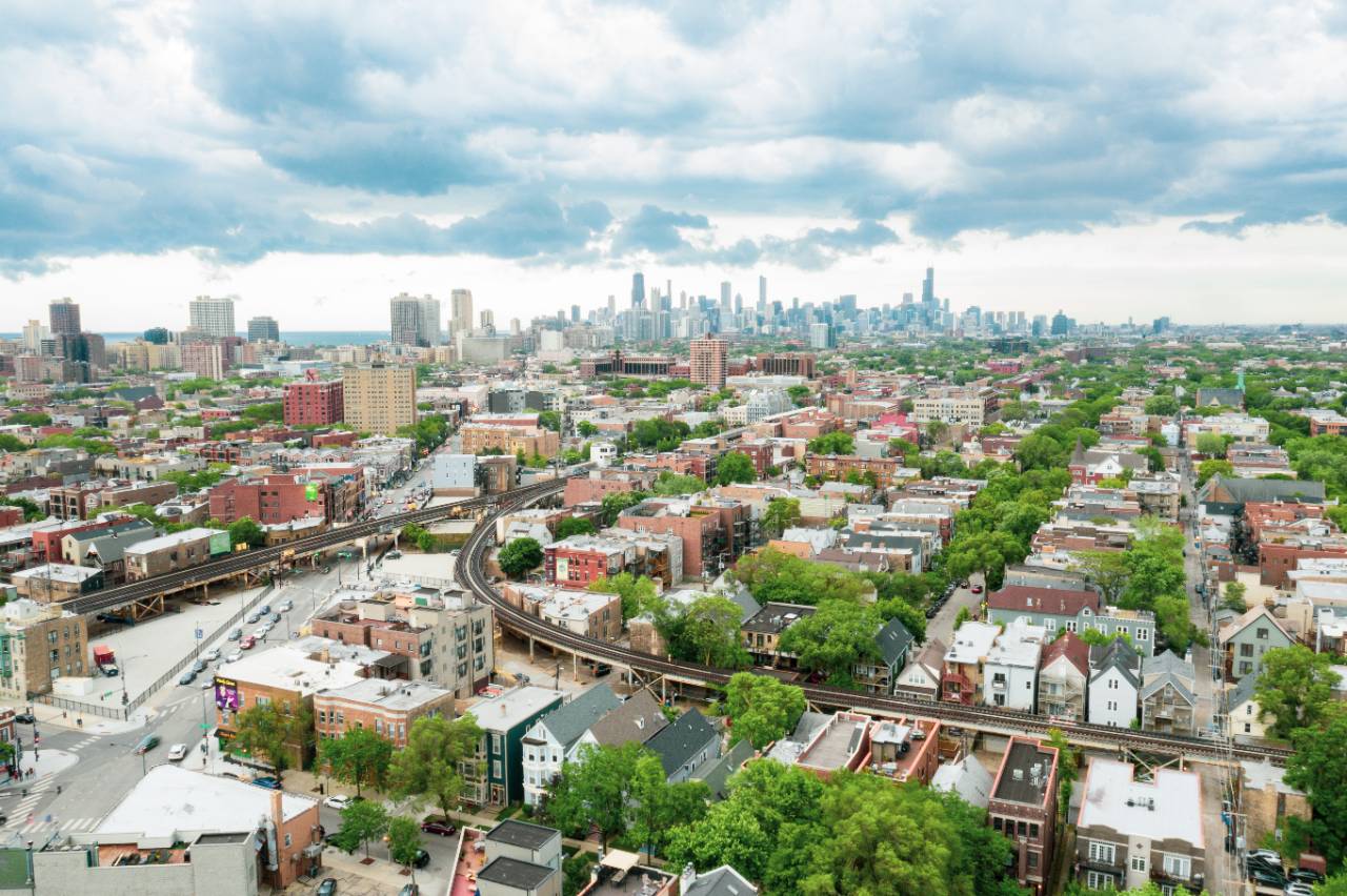
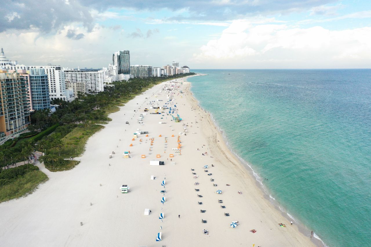
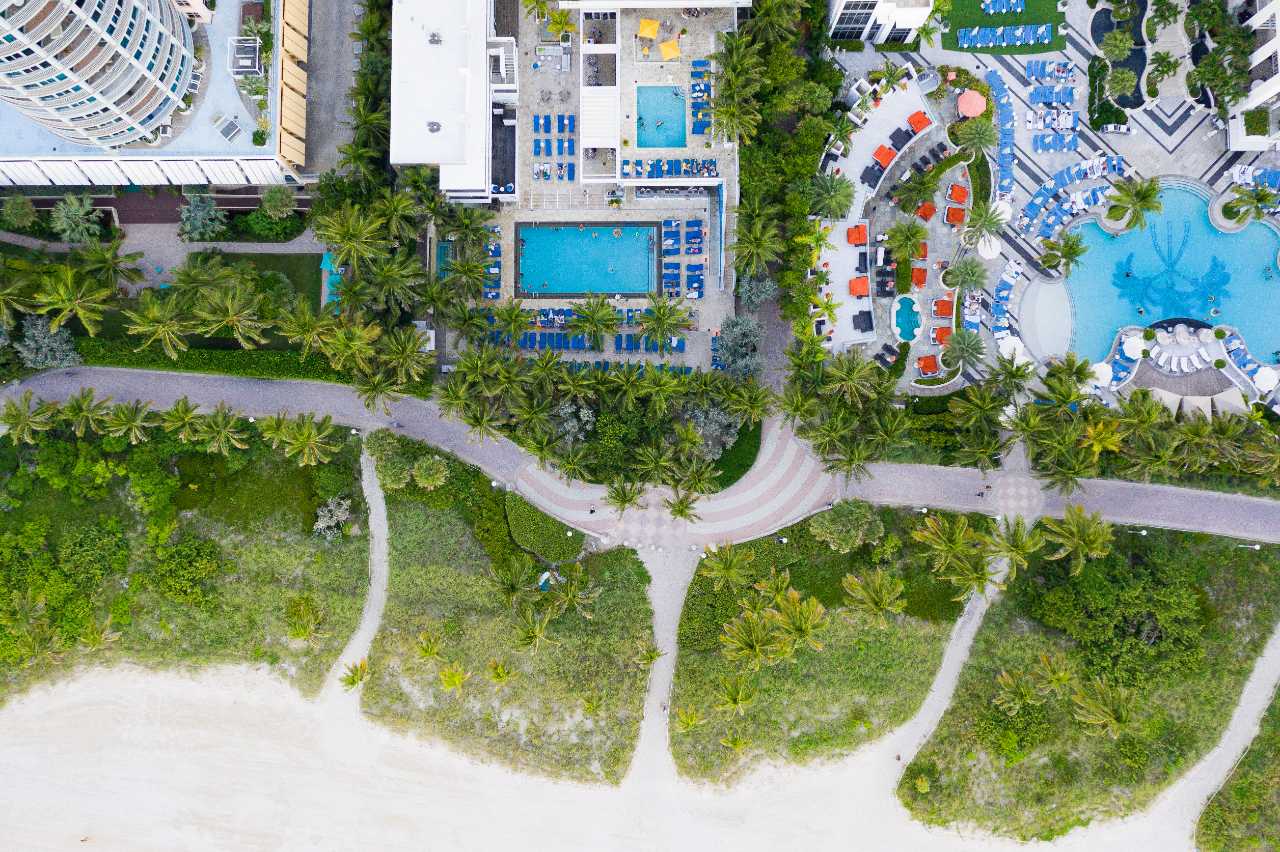
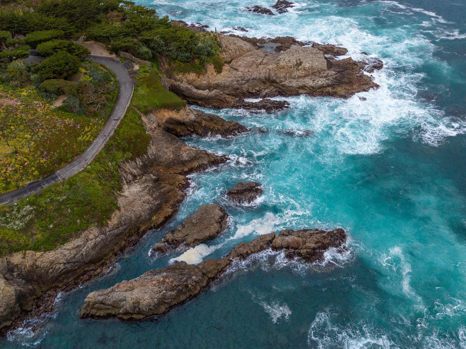
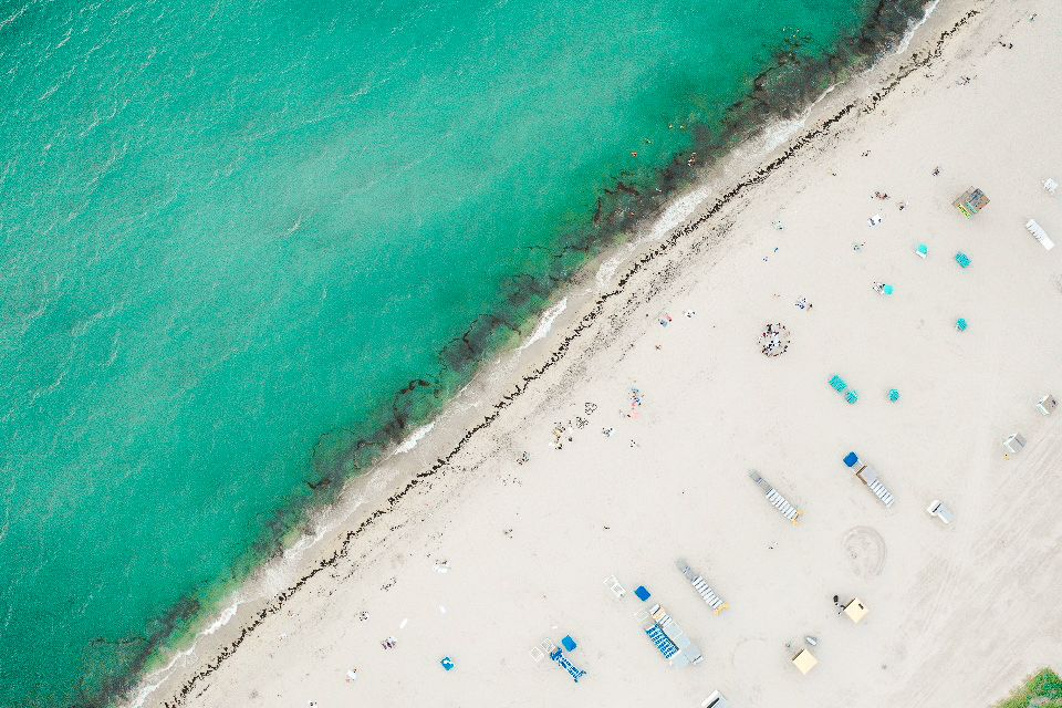
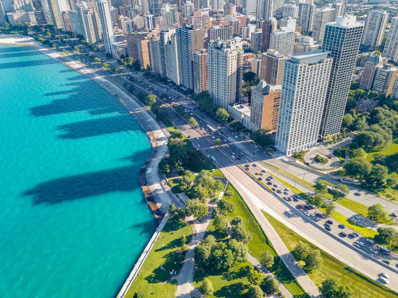
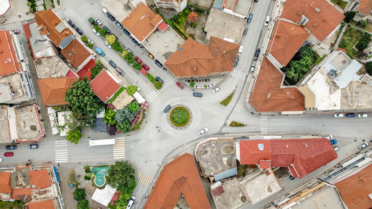
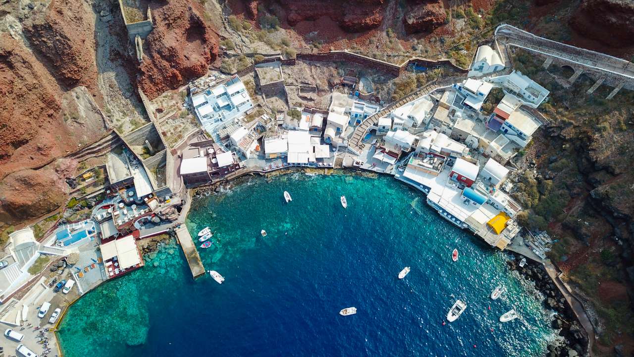
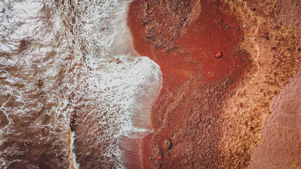
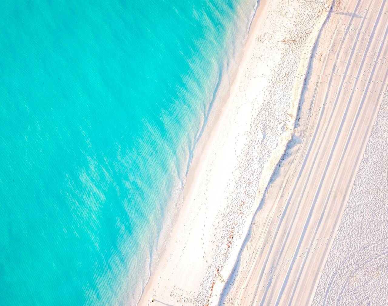
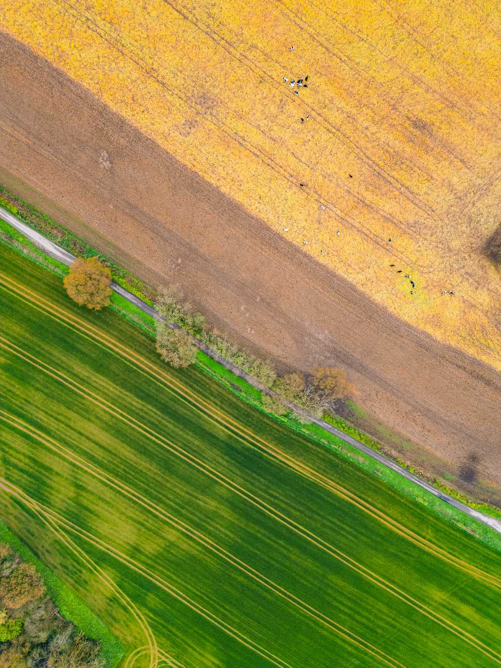
A shoreline against a road, a roof line splitting a field, the pattern a car park makes when nothing else in the frame is straight. From ground level a place is a place.
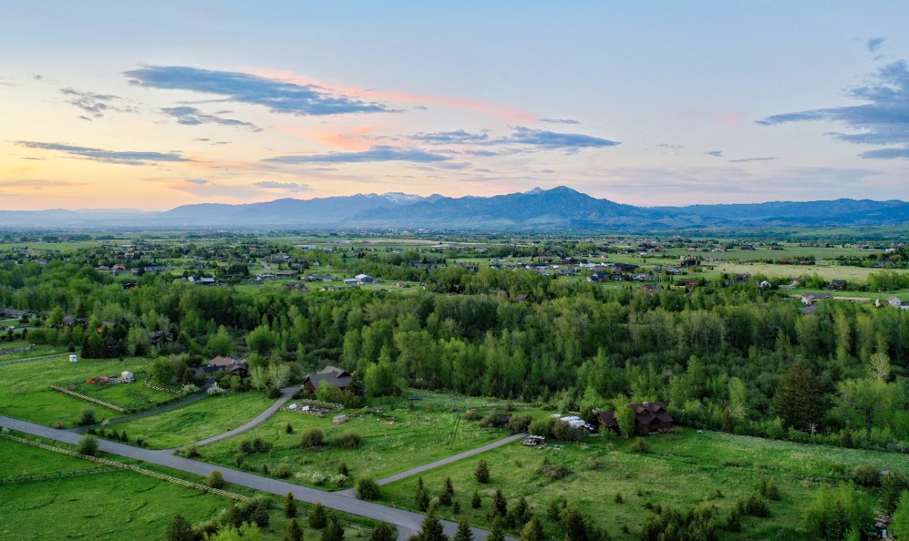
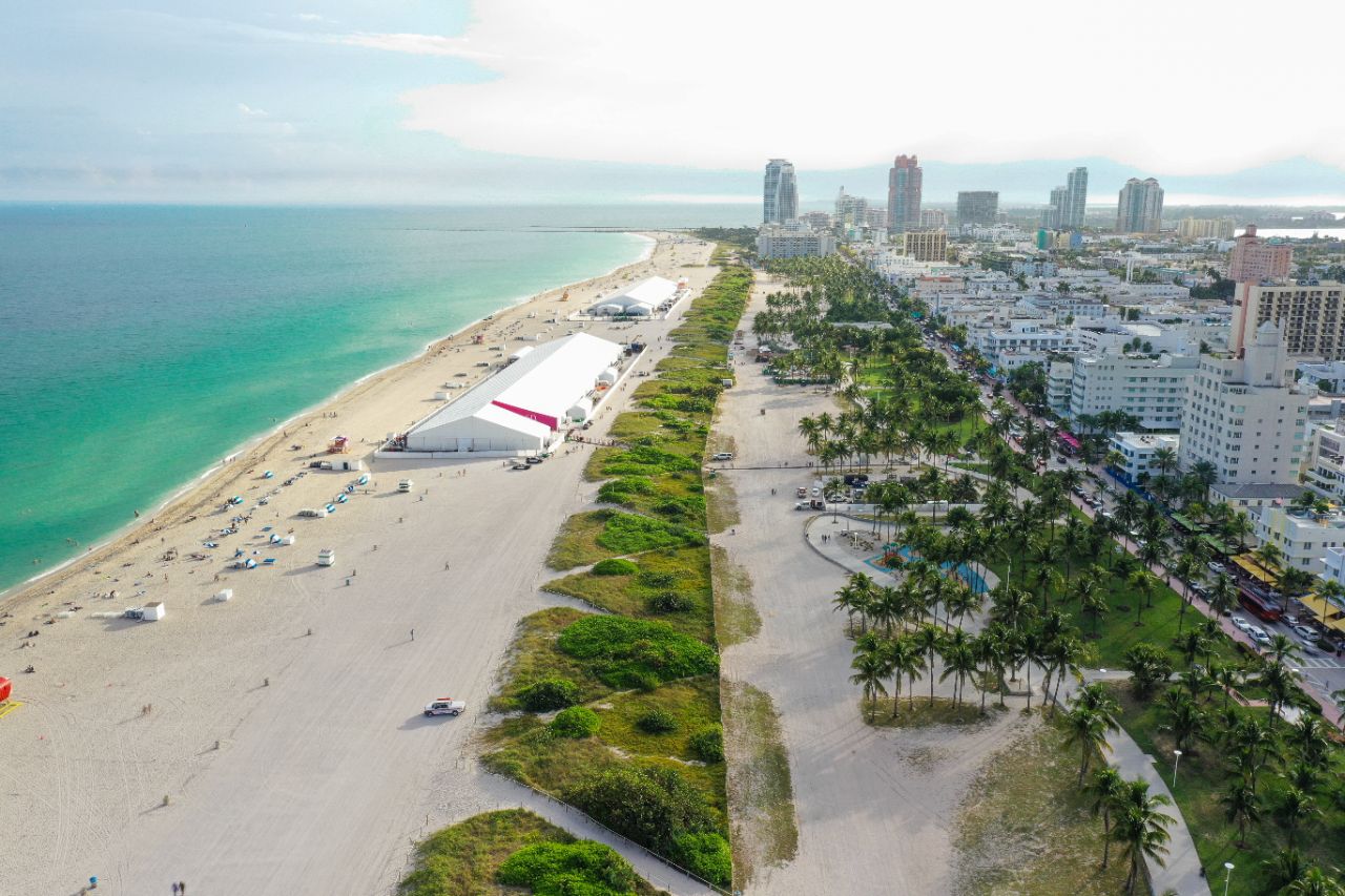
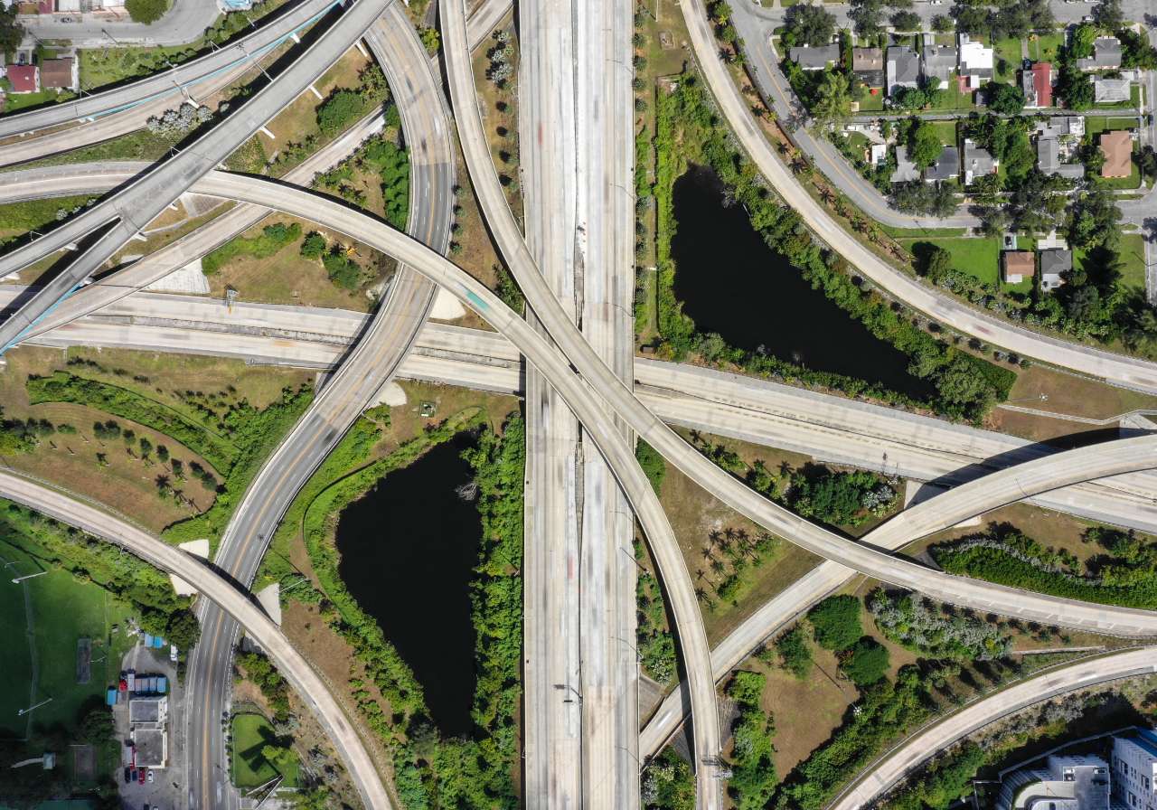
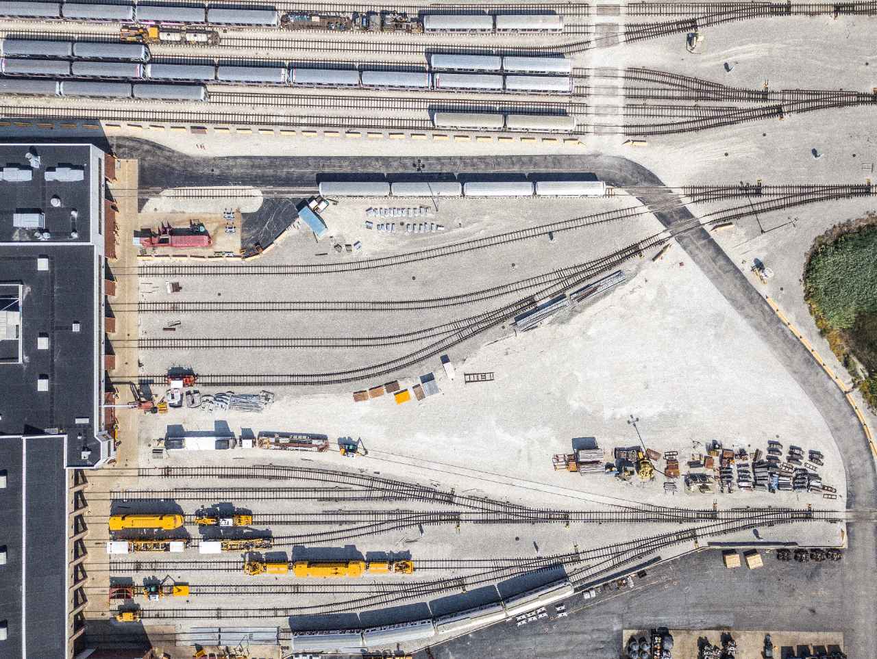
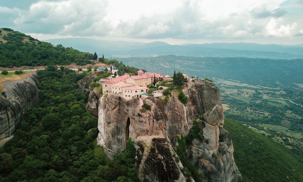
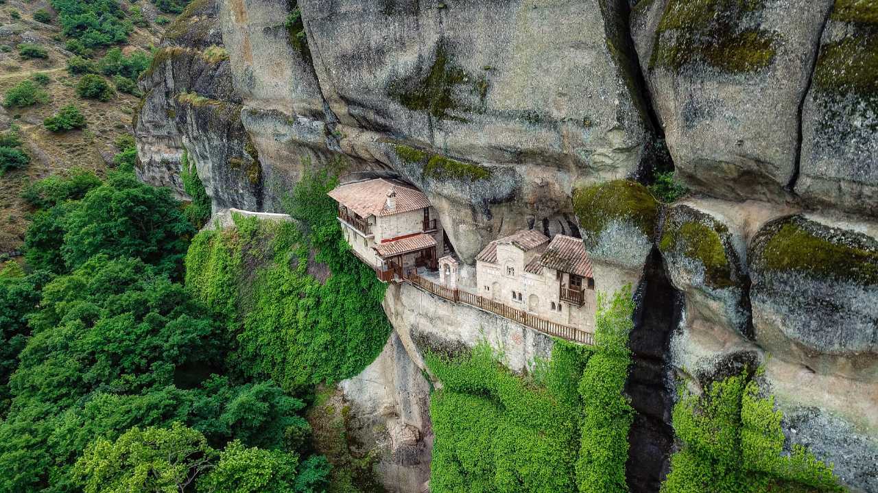
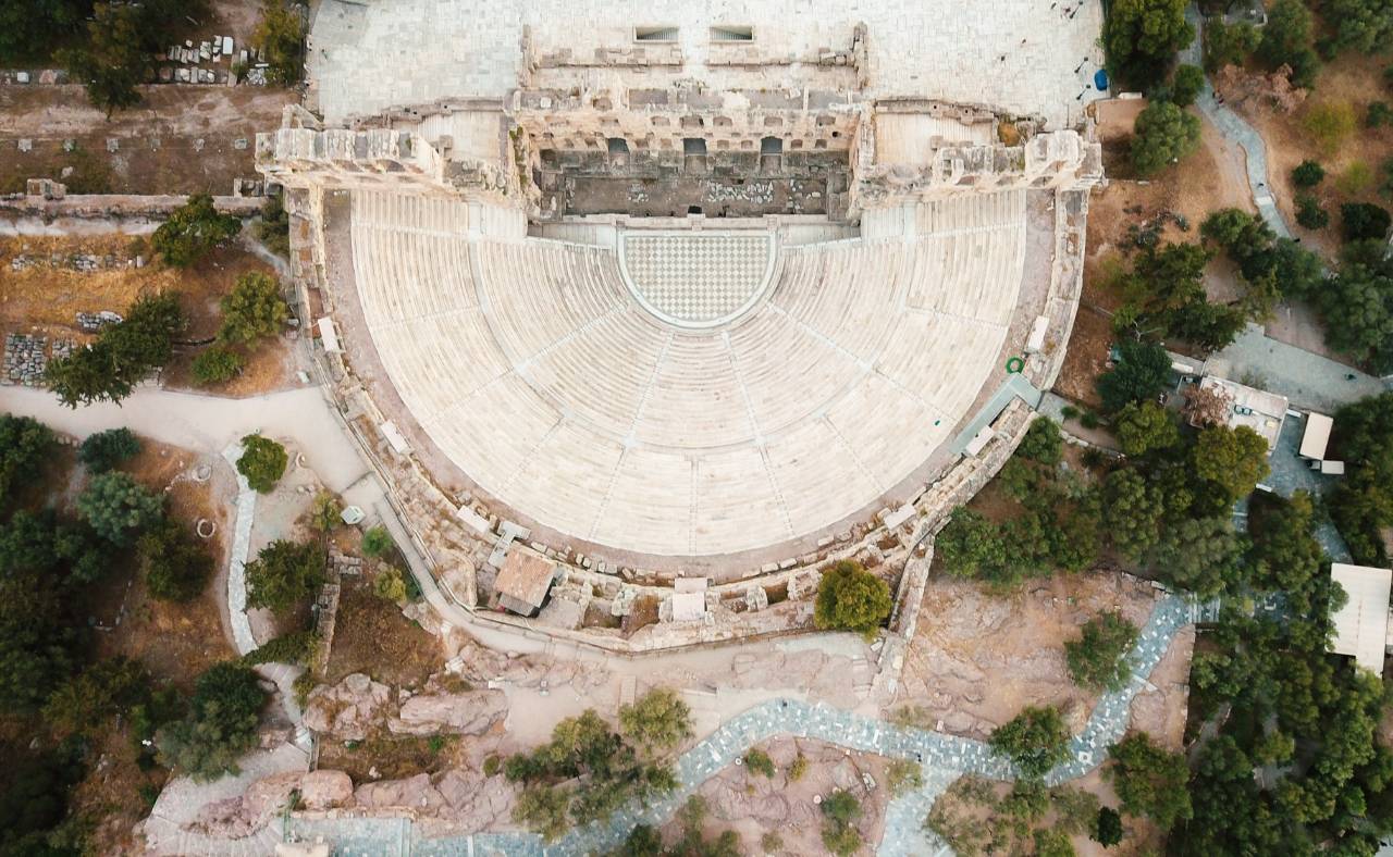
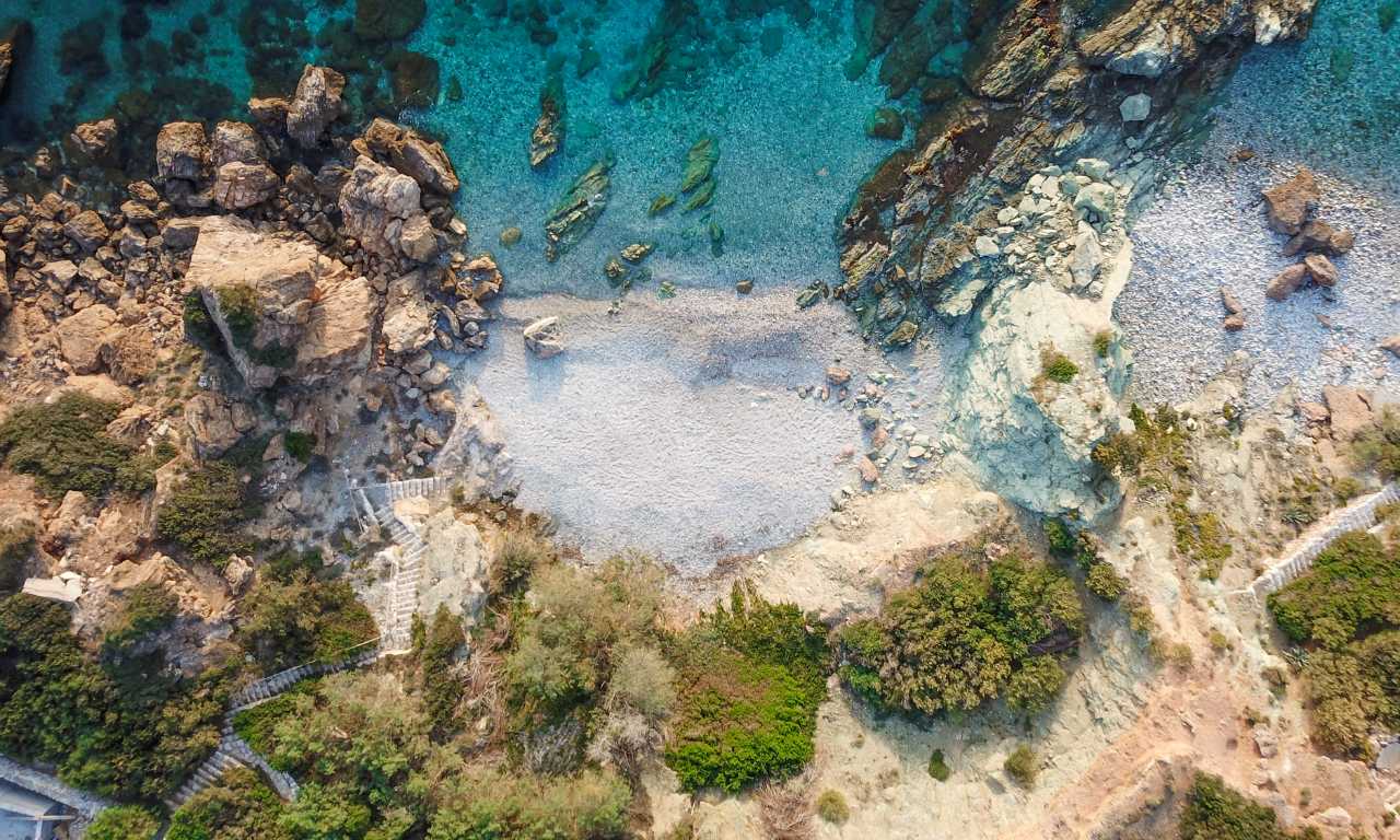
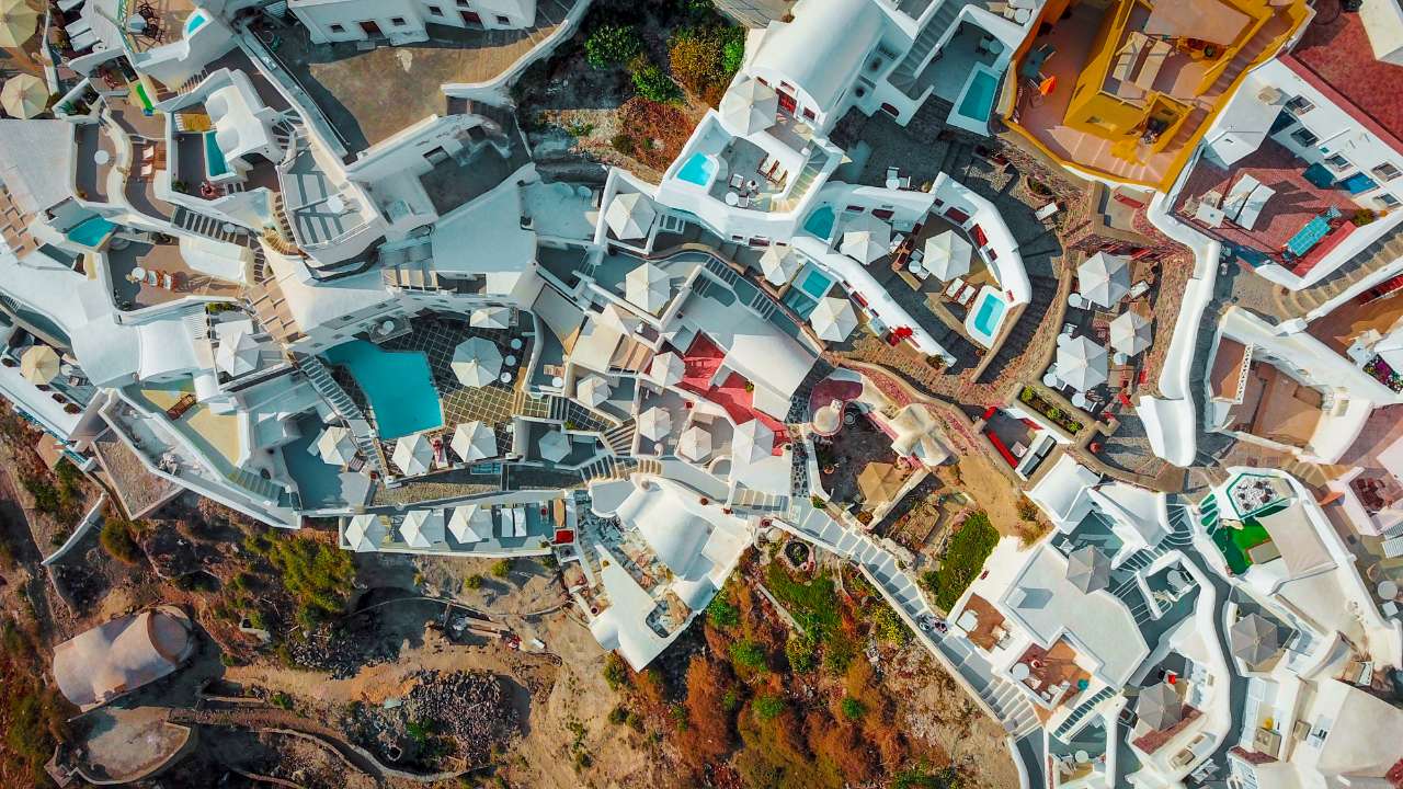
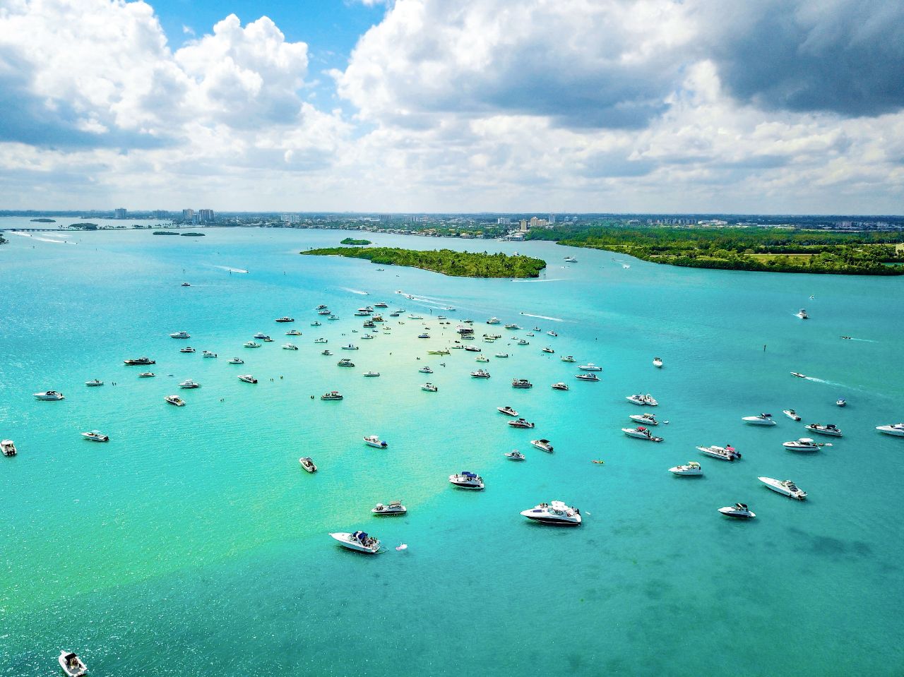
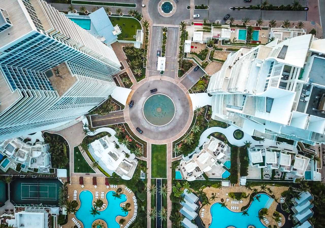
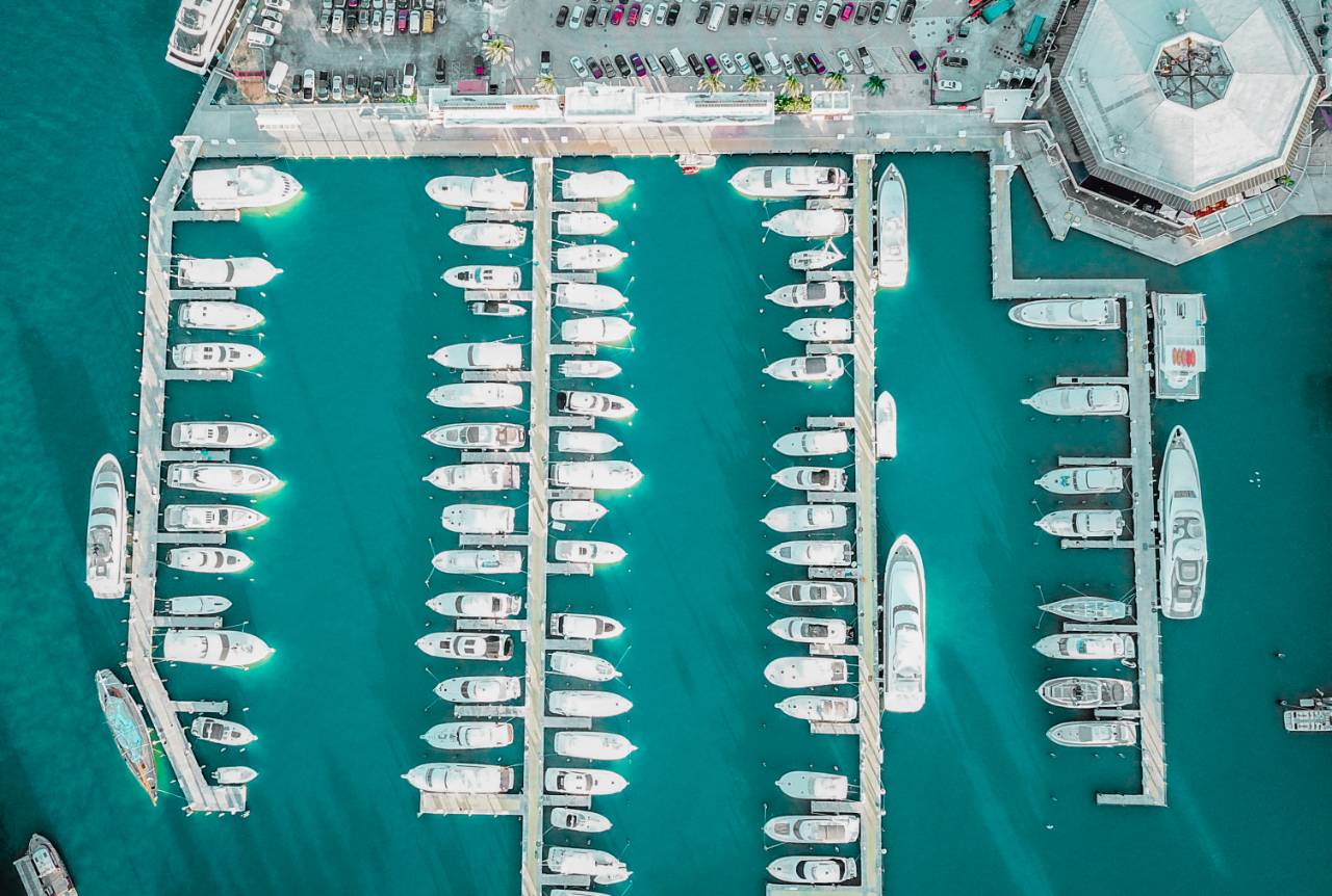
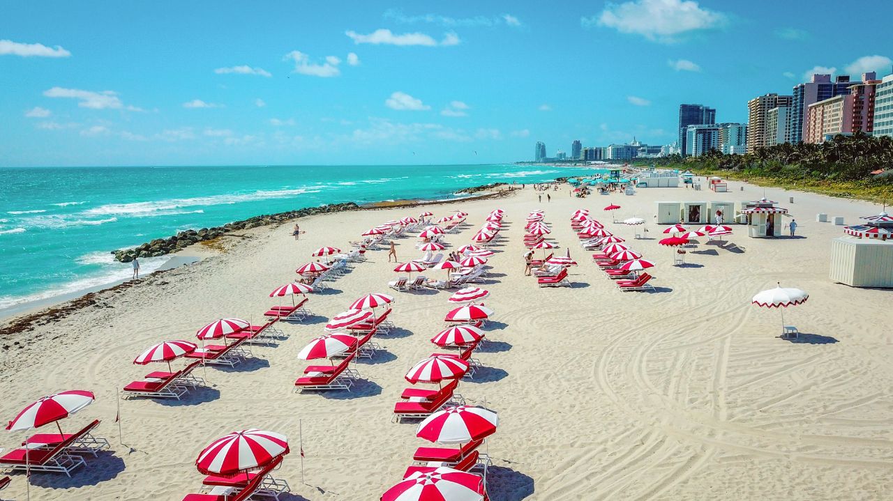
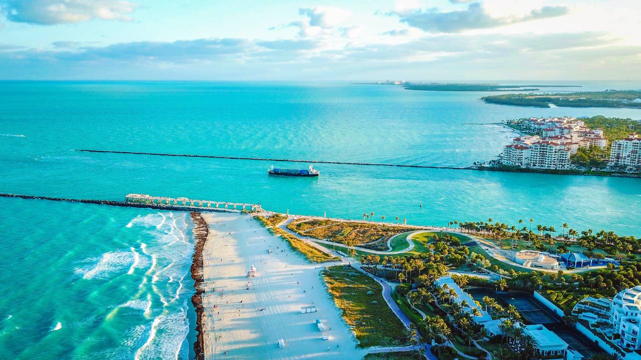
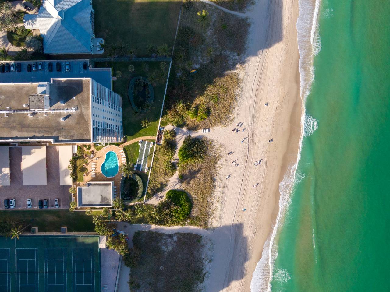
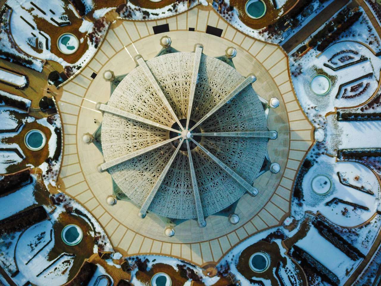
Altitude is a composition tool, not a party trick. The temptation is to go as high as the rules allow and call the wide shot a hero.
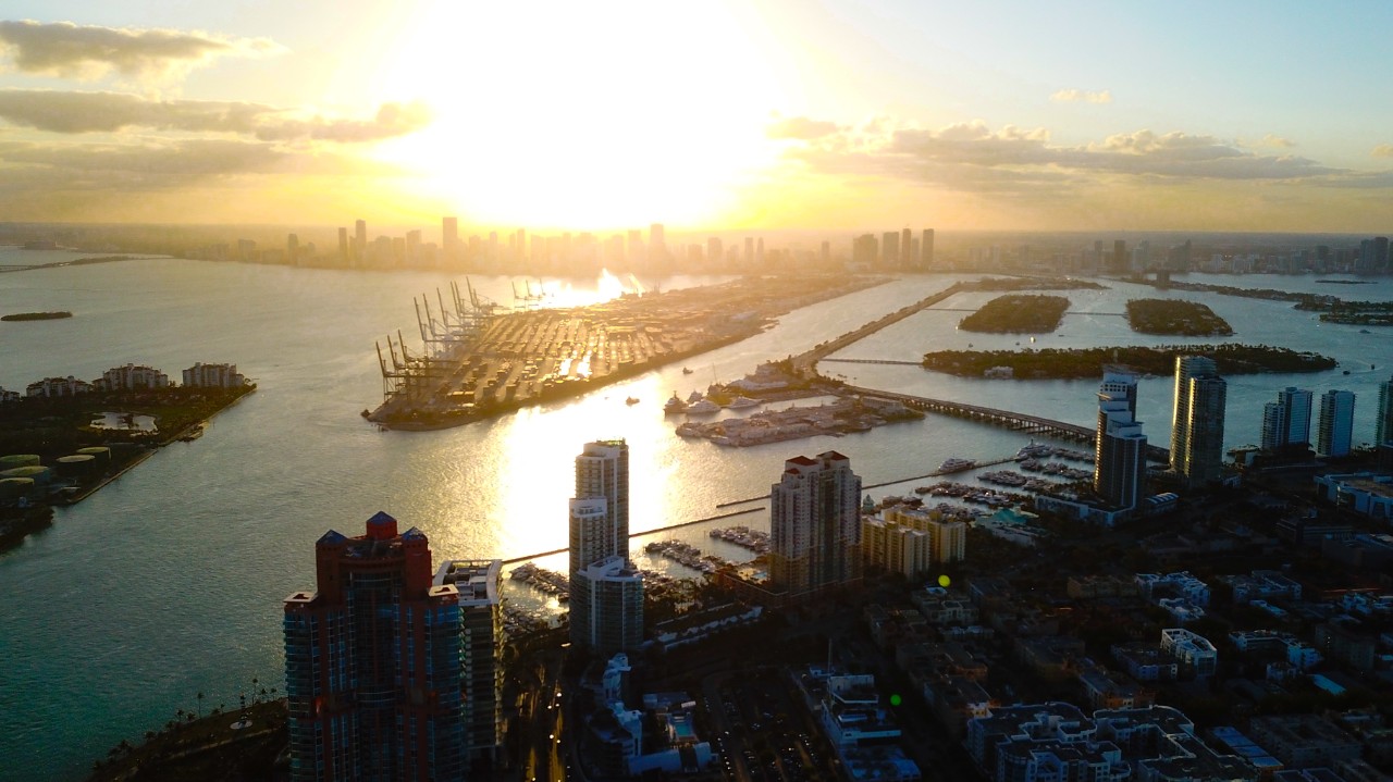
The shot is never worth the other thing.
What the light is doing down there
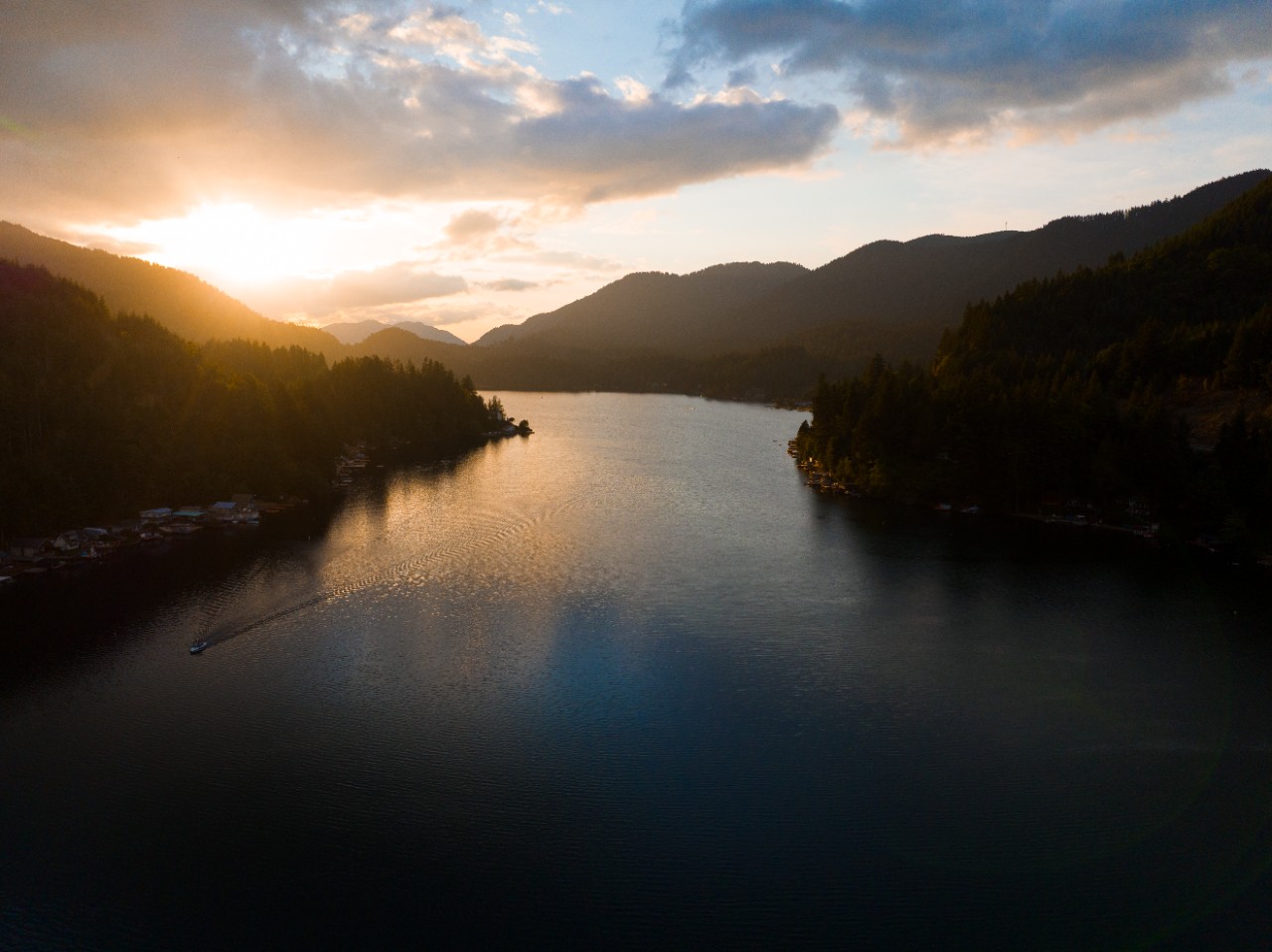
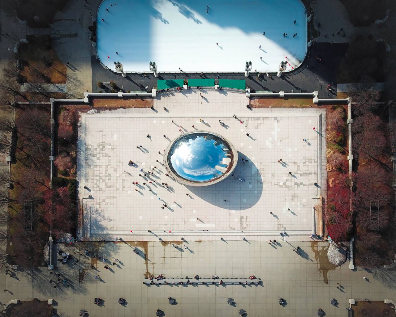
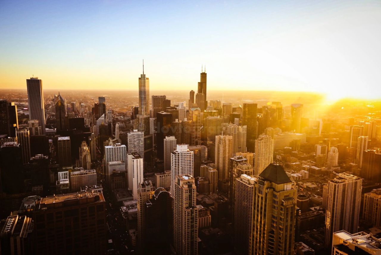
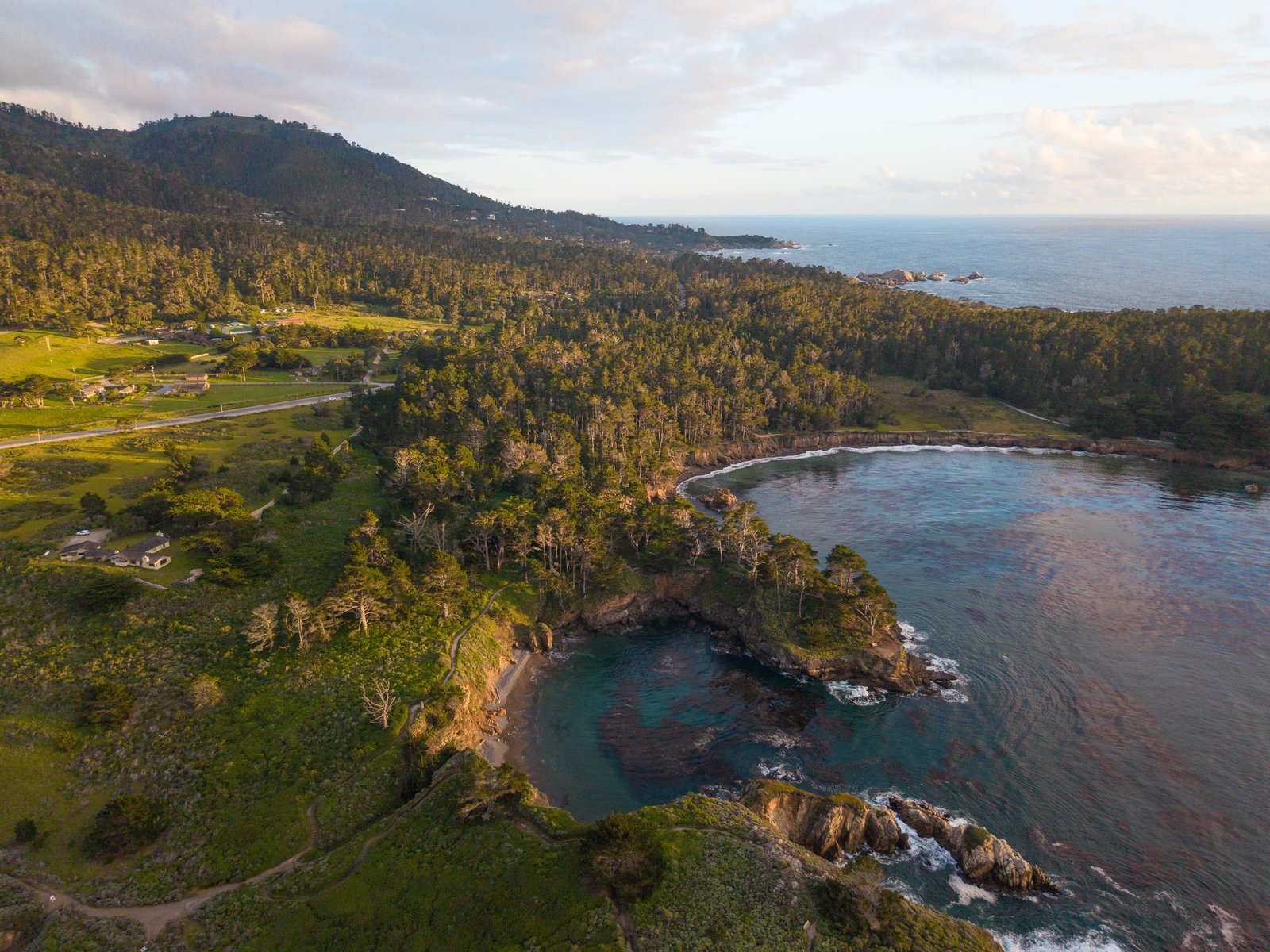
Aerials live or die on the light. From above, shadow is what draws the shapes, a treeline, a seawall, a row of pilings, and at midday there is almost none, so the ground flattens into one grey sheet. Early and late, the same view has edges again.
After that, it is discipline in the air. A straight-down frame has to be genuinely straight down or it reads as a mistake, and with the sun high the aircraft's own shadow will find its way into the picture. I fly a heading, check the corners, and move rather than crop later.
Height only changes the angle
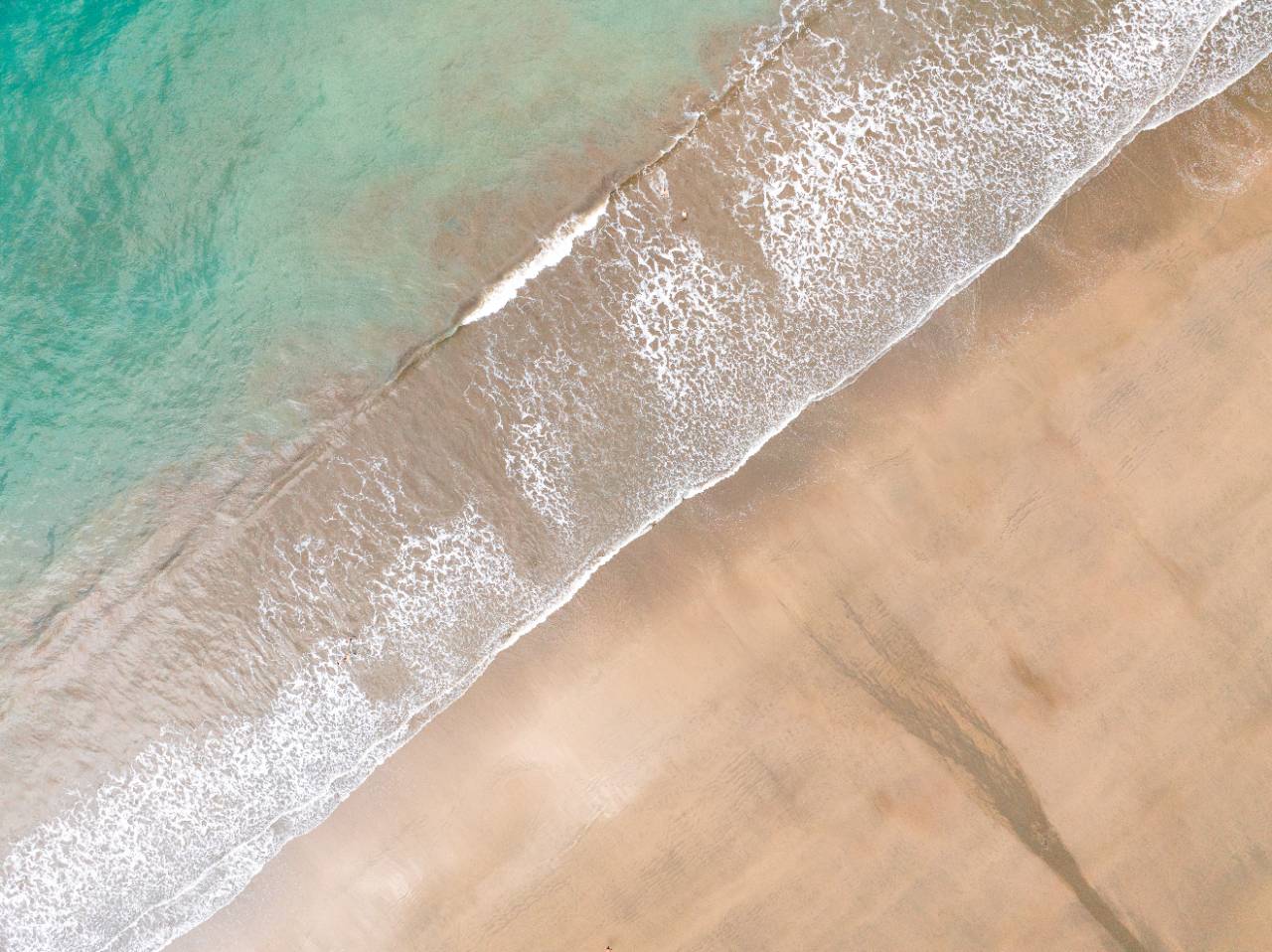
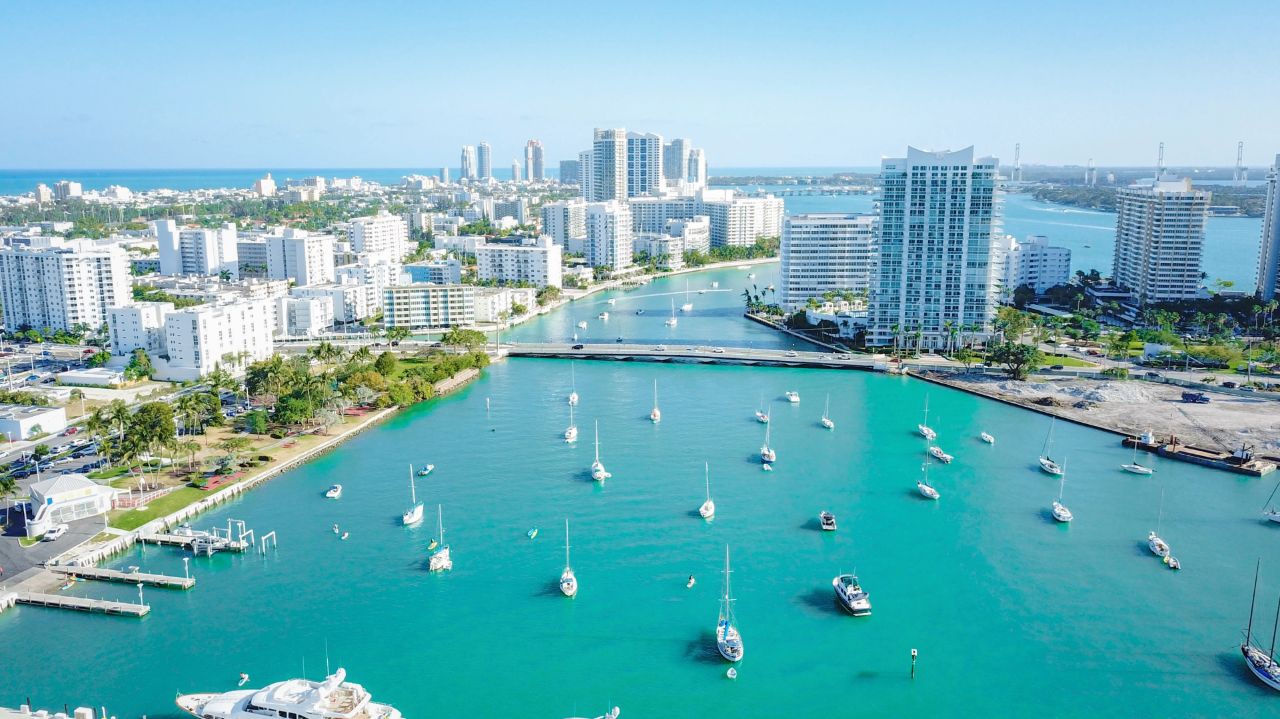
I get asked to go up and find something. Height gives a new angle on what is already there; it does not add what was missing. If there is no line to follow on the ground, a channel, a road, a change in color where the sand goes wet, the frame comes back empty, just from further away.
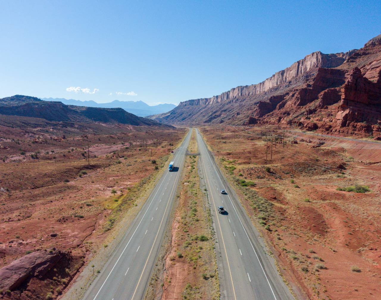
Scale is the other one. Seen from directly above, a big thing and a small thing can look the same, so I usually keep something in frame that the eye already knows how to measure: a car, a person walking, a boat.
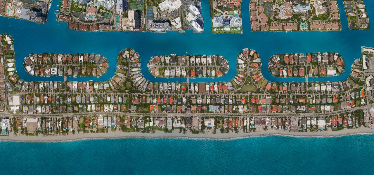
The largest piece of drone work here is the Town of Golden Beach: forty-five overlapping frames stitched into one continuous aerial portrait of an entire town, printed eight feet wide. Read how that one got made.
Explore my other photography categories or get in touch if you’re planning a project.